Services
- Home
- Services
We contribute to the feasibility and valorization of projects in the most diverse segments.

Specialized Engineering Technical Services
Environmental consultancy, technical assistance and rural, environmental extension, natural resource planning, projects and planning evaluation, studies, evaluations and consultancies for different public and private sectors, audits, control, supervision or management.

Systems Development and Deployment
Development of geographic information systems, information management, Implementation and maintenance of management systems.

Registration Surveys
Multipurpose urban registration, rural registration of settlements and registration of rural properties in accordance with the new legislation.

Environmental Licensing
Environmental Licensing is divided into three stages: Preliminary License (LP), Installation License (LI) and Operating License (LO). The Company accompanies and advises the entrepreneur in the execution of all the stages for the complete licensing, including the elaboration of EIA/RIMA, PCA, PRAD, among others.

Environmental Audit
Environmental auditing is a systematic and documented verification process performed to obtain and objectively assess evidence that determines whether an organization's environmental management system complies with the organization's established environmental management system audit criteria. , and to communicate the results of this process to management. AMBIENTAL AMAZÔNIA has certified professionals in internal auditing to perform all phases of an environmental audit aimed at certification or compliance with goals and objectives.

Environmental Management System (SGA)
Elaboration of the Environmental Management System – SGA. Including, among other processes: GAP audit, survey of aspects and impacts, integration with quality management systems (ISO 9000) and integration with occupational health and safety management systems (ISO 18000).

Environmental Impact Assessment
Technical studies to analyze urban, road and neighborhood environmental impacts caused by the enterprise.

Environmental monitoring
Qualitative and quantitative survey obtained by monitoring the fauna and flora and natural resources (mainly soil and water) in a given area.

Environmental Feasibility Study
Environmental feasibility study of the projects

Rural Property Use Planning
The Company carries out all the technical studies of natural resources and the socioeconomic aspects of the rural property to carry out integrated studies to indicate more effective uses, monitoring and implementing the planned activities.

Reforestation
The Company has its own seedling production infrastructure and its focus is on reforestation to recover legal reserves and permanent preservation areas with native species. Reforestation and productive forest plantations with native and exotic species. Compliance with environmental requirements.

Fundraising
Technical consultancy specialized in providing reimbursable and non-reimbursable financial resources for investments at all levels of Government (Federal, State and Municipal), Cooperatives, Associations and Third Sector entities (NGOs, OS, OSC, OSCIP and others). The work consists in the identification of potential financiers and in the elaboration/approval of projects with the Union, Cooperation Agencies, Banks and Multilateral Credit Organizations in Brazil and abroad.

Development, execution and modeling of environmental services projects
This service includes all preparation activities for REDD+, conducting free, prior and informed consent of beneficiaries, mobilizing and involving stakeholders, carrying out a Forest Inventory, Preparing the PDD, advising on the validation process and supporting implementation and commercialization.

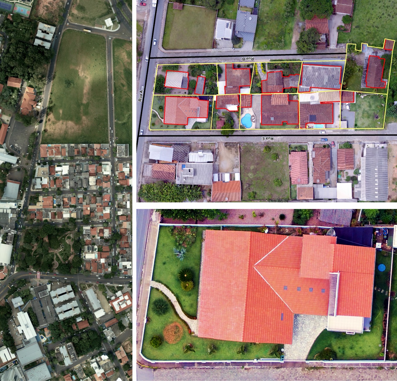
Obtaining small-format aerial photos
These images are an excellent product for use in environmental assessment and measurement of impacts and environmental assets in small areas. Rural and urban thematic studies using unconventional vertical aerial photos at different scales and, Generation of orthophotos, Studies of natural resources at regional scales, Generation of image charts at the municipal level and municipal zoning, master plans, housing, sanitation, to support the planning, decision-making and management of different actions both in urban and rural areas.

Topographic Surveys
Planialtimetric surveys, mapping using precision GPS (L1 and L2) and total station, dam planning and generation of digital elevation models, georeferencing of rural properties.

Training
Short-term training: geoprocessing, registration, use of GPS, interpretation of satellite images and use of vertical aerial photos. Production systems, management and planning,

